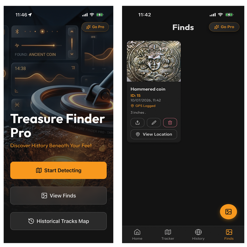
Built Specifically for Detectorists
Every tool you need in the field to identify relics, navigate ancient ground, and store your treasure collection.

AI Find Identification
Snap a photo of any coin, token, button, or relic. OpenAI GPT-4o Vision instantly analyzes the object, returning its title, category, estimated era, and historical description.
UK LiDAR & Relief Maps
Access high-resolution UK Environment Agency LiDAR and Esri elevation hillshade overlays. Reveal hidden earthworks, ancient trackways, and ditches invisible to standard maps.
Live GPS Path Tracking
Record your exact detecting grid with background GPS tracking. Features stationary drift stabilization so your path stays clean and accurate without wiggling.
Finds Log & Photo Gallery
Keep a detailed record of every find complete with photos, timestamp, and high-precision GPS coordinates attached automatically.
Interactive History Map
View all your past detecting sessions and finds on one unified historical map. Filter by session color, search by location, or review past tracks.
Privacy & Local Storage
Your secret detecting spots stay yours. All location data and find logs are stored strictly on your device and are never shared or sold.